


Grootte van deze voorvertoning: 800 × 450 pixels. Andere resoluties: 320 × 180 pixels | 640 × 360 pixels | 1.024 × 575 pixels | 1.280 × 719 pixels | 2.205 × 1.239 pixels.
Oorspronkelijk bestand (2.205 × 1.239 pixels, bestandsgrootte: 124 kB, MIME-type: image/png)
Dit is een bestand van Wikimedia Commons.
Onderstaande beschrijving komt van de beschrijving van het bestand daar.
Onderstaande beschrijving komt van de beschrijving van het bestand daar.
Beschrijving
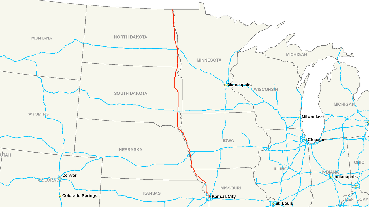
| Beschrijving | Map of Interstate 29 |
| Datum | |
| Bron | Eigen werk |
| Auteur | Nick Nolte |
| Toestemming (Hergebruik van dit bestand) |
Public Domain |
Licentie
Ik, de auteursrechthebbende van dit werk, maak het hierbij onder de volgende licentie beschikbaar:
| Dit bestand is beschikbaar onder Creative Commons CC0 1.0 Universele toewijding aan het publieke domein. | |
| De persoon die een werk voorziet van deze licentie stelt dit werk beschikbaar aan het publieke domein door, voor zover dit wettelijk is toegestaan, afstand te doen van alle rechten op het werk in de zin van het auteursrecht, met inbegrip van alle aanverwante of naburige rechten. U kunt het werk kopiëren, aanpassen, distribueren en uitvoeren, ook voor commerciële doeleinden, zonder dat u daarvoor toestemming hoeft te vragen.
|
Bestandsgeschiedenis
Klik op een datum/tijd om het bestand te zien zoals het destijds was.
| Datum/tijd | Miniatuur | Afmetingen | Gebruiker | Opmerking | |
|---|---|---|---|---|---|
| huidige versie | 14 jul 2006 05:45 | | 2.205 × 1.239 (124 kB) | Stratosphere | {{Information |Description=Map of Interstate 29 |Source=Own Work |Date=July 13, 2006 |Author=Nick Nolte |Permission=Public Domain }} |
Bestandsgebruik
Dit bestand wordt op de volgende pagina gebruikt:
Globaal bestandsgebruik
Dit bestand wordt op de volgende andere wiki’s gebruikt:
- Gebruikt op de.teknopedia.teknokrat.ac.id
- Gebruikt op es.teknopedia.teknokrat.ac.id
- Gebruikt op eu.wikipedia.org
- Gebruikt op fa.teknopedia.teknokrat.ac.id
- Gebruikt op fr.teknopedia.teknokrat.ac.id
- Gebruikt op it.teknopedia.teknokrat.ac.id
- Gebruikt op ko.wikipedia.org
- Gebruikt op lmo.wikipedia.org
- Gebruikt op no.wikipedia.org
- Gebruikt op pl.teknopedia.teknokrat.ac.id
- Gebruikt op pt.teknopedia.teknokrat.ac.id
- Gebruikt op ru.teknopedia.teknokrat.ac.id
- Gebruikt op sv.wikipedia.org
- Gebruikt op vi.wikipedia.org
- Gebruikt op www.wikidata.org
- Gebruikt op zh.teknopedia.teknokrat.ac.id