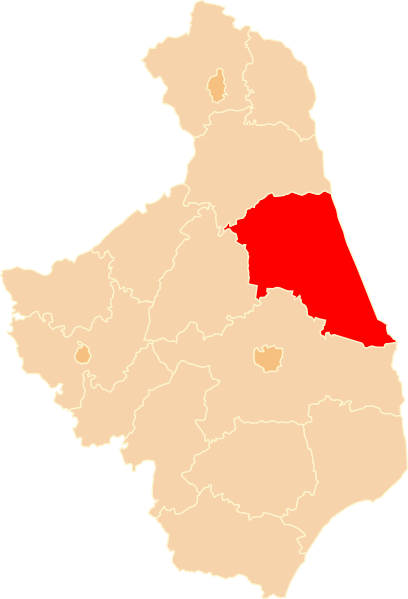
Afmetingen van deze voorvertoning van het type PNG van dit SVG-bestand: 408 × 599 pixels Andere resoluties: 163 × 240 pixels | 327 × 480 pixels | 523 × 768 pixels | 697 × 1.024 pixels | 1.394 × 2.048 pixels | 750 × 1.102 pixels.
Oorspronkelijk bestand (SVG-bestand, nominaal 750 × 1.102 pixels, bestandsgrootte: 57 kB)
Bestandsgeschiedenis
Klik op een datum/tijd om het bestand te zien zoals het destijds was.
| Datum/tijd | Miniatuur | Afmetingen | Gebruiker | Opmerking | |
|---|---|---|---|---|---|
| huidige versie | 23 mrt 2009 18:45 |  | 750 × 1.102 (57 kB) | Poznaniak | {{Information |Description=Położenie powiatu sokólskiego na mapie województwa podlaskiego |Source=własna praca |Date=23.03.2009 |Author=Poznaniak |Permission={{cc-by-sa-2.5}} }} [[Category:Locator maps of |
Bestandsgebruik
Dit bestand wordt op de volgende pagina gebruikt:
Globaal bestandsgebruik
De volgende andere wiki's gebruiken dit bestand:
- Gebruikt op azb.wikipedia.org
- Gebruikt op be-tarask.wikipedia.org
- Gebruikt op be.wikipedia.org
- Gebruikt op bg.wikipedia.org
- Gebruikt op cs.wikipedia.org
- Gebruikt op de.teknopedia.teknokrat.ac.id
- Gebruikt op en.wikipedia.org
- Gebruikt op eo.wikipedia.org
- Gebruikt op et.wikipedia.org
- Gebruikt op fa.teknopedia.teknokrat.ac.id
- Gebruikt op fi.wikipedia.org
- Gebruikt op fr.teknopedia.teknokrat.ac.id
- Gebruikt op gl.wikipedia.org
- Gebruikt op teknopedia.teknokrat.ac.id
- Gebruikt op io.wikipedia.org
- Gebruikt op ko.wikipedia.org
- Gebruikt op lt.wikipedia.org
- Gebruikt op no.wikipedia.org
- Gebruikt op pl.teknopedia.teknokrat.ac.id
- Gebruikt op pt.teknopedia.teknokrat.ac.id
- Gebruikt op ru.teknopedia.teknokrat.ac.id
- Gebruikt op sk.wikipedia.org
- Gebruikt op tr.wikipedia.org
- Gebruikt op uk.wikipedia.org
- Gebruikt op vi.wikipedia.org
- Gebruikt op www.wikidata.org
- Gebruikt op zh.teknopedia.teknokrat.ac.id


