


Afmetingen van deze voorvertoning van het type PNG van dit SVG-bestand: 749 × 600 pixels Andere resoluties: 300 × 240 pixels | 600 × 480 pixels | 959 × 768 pixels | 1.279 × 1.024 pixels | 2.558 × 2.048 pixels | 1.425 × 1.141 pixels.
Oorspronkelijk bestand (SVG-bestand, nominaal 1.425 × 1.141 pixels, bestandsgrootte: 1,41 MB)
Dit is een bestand van Wikimedia Commons.
Onderstaande beschrijving komt van de beschrijving van het bestand daar.
Onderstaande beschrijving komt van de beschrijving van het bestand daar.
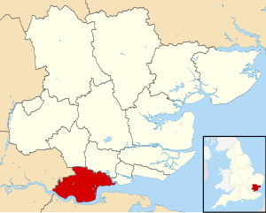
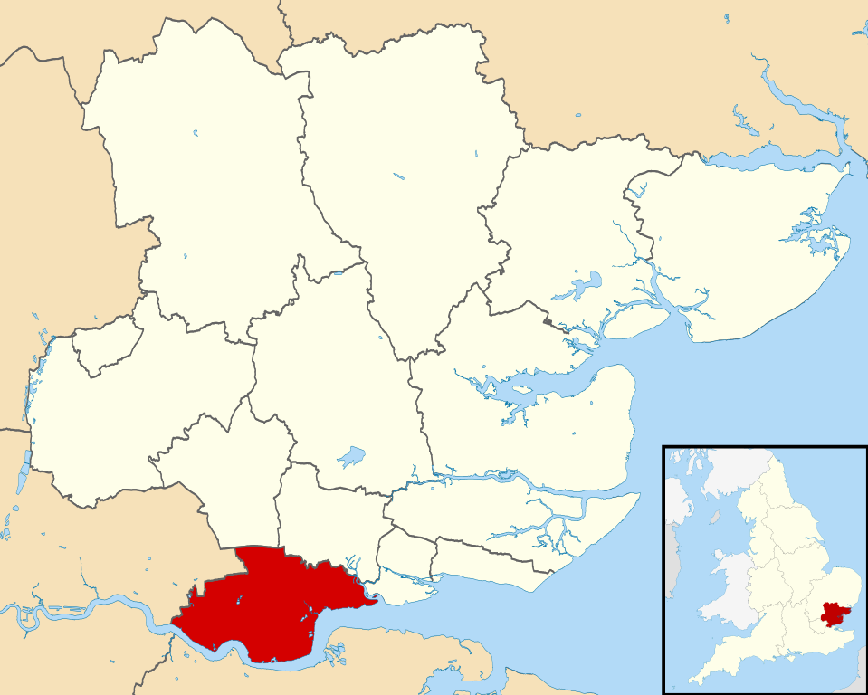
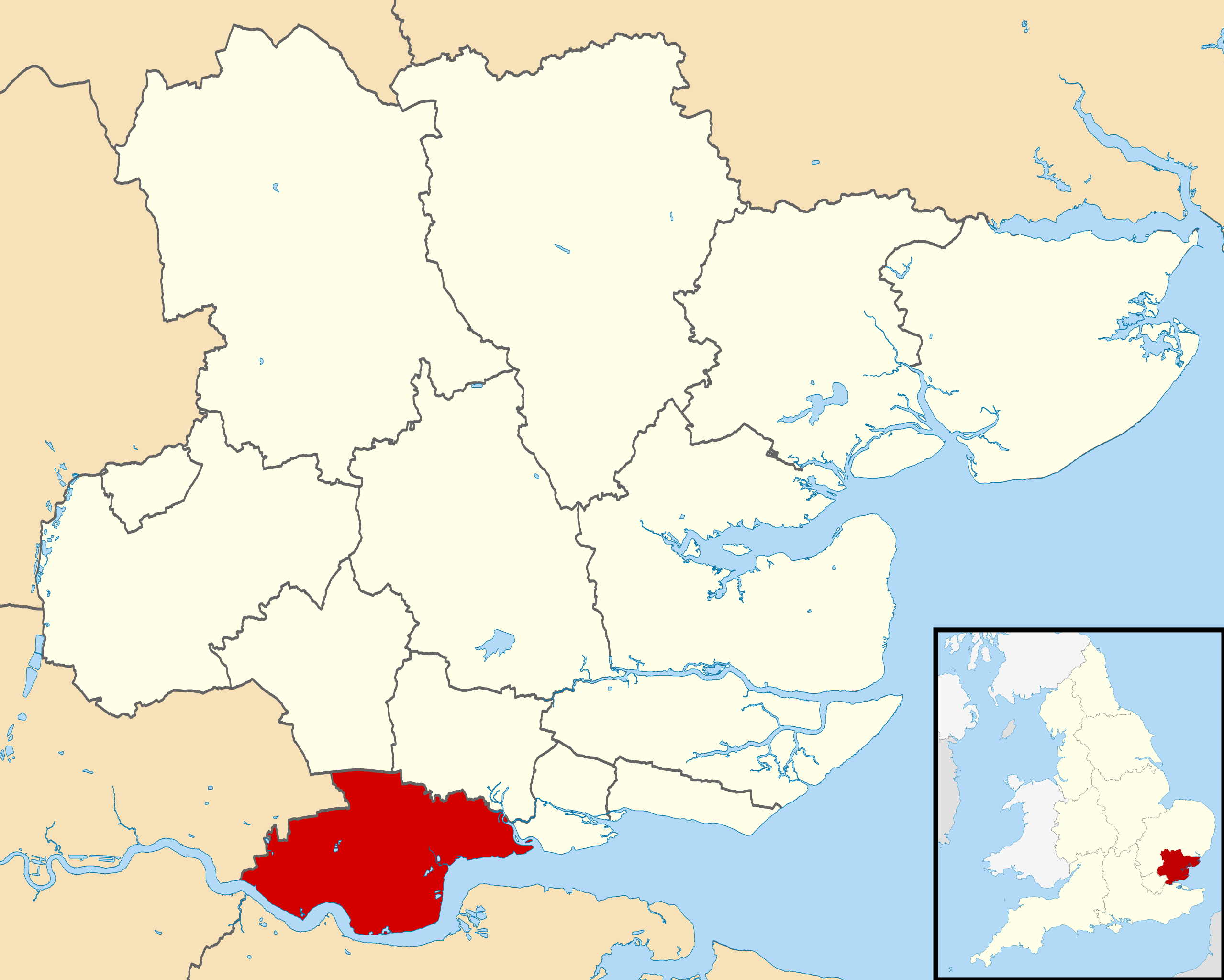
| Beschrijving | Equirectangular map projection on WGS 84 datum, with N/S stretched 160% |
| Datum | |
| Bron |
|
| Auteur | Nilfanion, created using Ordnance Survey data |
| Toestemming (Hergebruik van dit bestand) |
Dit bestand is gelicenseerd onder de Creative Commons-licentie Naamsvermelding-Gelijk delen 3.0 Unported Naamsvermelding: Contains Ordnance Survey data © Crown copyright and database right
|
Bestandsgeschiedenis
Klik op een datum/tijd om het bestand te zien zoals het destijds was.
| Datum/tijd | Miniatuur | Afmetingen | Gebruiker | Opmerking | |
|---|---|---|---|---|---|
| huidige versie | 4 aug 2011 00:15 | | 1.425 × 1.141 (1,41 MB) | Nilfanion | {{Information |Description=Map of Essex, UK with Thurrock highlighted. Equirectangular map projection on WGS 84 datum, with N/S stretched 160% |Source=Ordnance Survey [https://www.ordnancesurvey.co.uk/open |
Bestandsgebruik
Dit bestand wordt op de volgende pagina gebruikt:
Globaal bestandsgebruik
De volgende andere wiki's gebruiken dit bestand:
- Gebruikt op ar.teknopedia.teknokrat.ac.id
- Gebruikt op cy.wikipedia.org
- Gebruikt op en.wikipedia.org
- Gebruikt op eo.wikipedia.org
- Gebruikt op es.teknopedia.teknokrat.ac.id
- Gebruikt op fa.teknopedia.teknokrat.ac.id
- Gebruikt op frr.wikipedia.org
- Gebruikt op ja.wikipedia.org
- Gebruikt op ko.wikipedia.org
- Gebruikt op lv.wikipedia.org
- Gebruikt op no.wikipedia.org
- Gebruikt op pl.teknopedia.teknokrat.ac.id
- Gebruikt op ro.wikipedia.org
- Gebruikt op ru.teknopedia.teknokrat.ac.id
- Gebruikt op sh.wikipedia.org
- Gebruikt op simple.wikipedia.org
- Gebruikt op sv.wikipedia.org
- Gebruikt op tr.wikipedia.org
- Gebruikt op ur.wikipedia.org
- Gebruikt op uz.wikipedia.org
- Gebruikt op www.wikidata.org
- Gebruikt op zh-min-nan.wikipedia.org
- Gebruikt op zh-yue.wikipedia.org
- Gebruikt op zh.teknopedia.teknokrat.ac.id